Hiking & Mountain Sports in Schladming Dachstein
Hiking holiday in Schladming: 1,000 km of hiking trails, mountain sports, alpine huts & panorama.
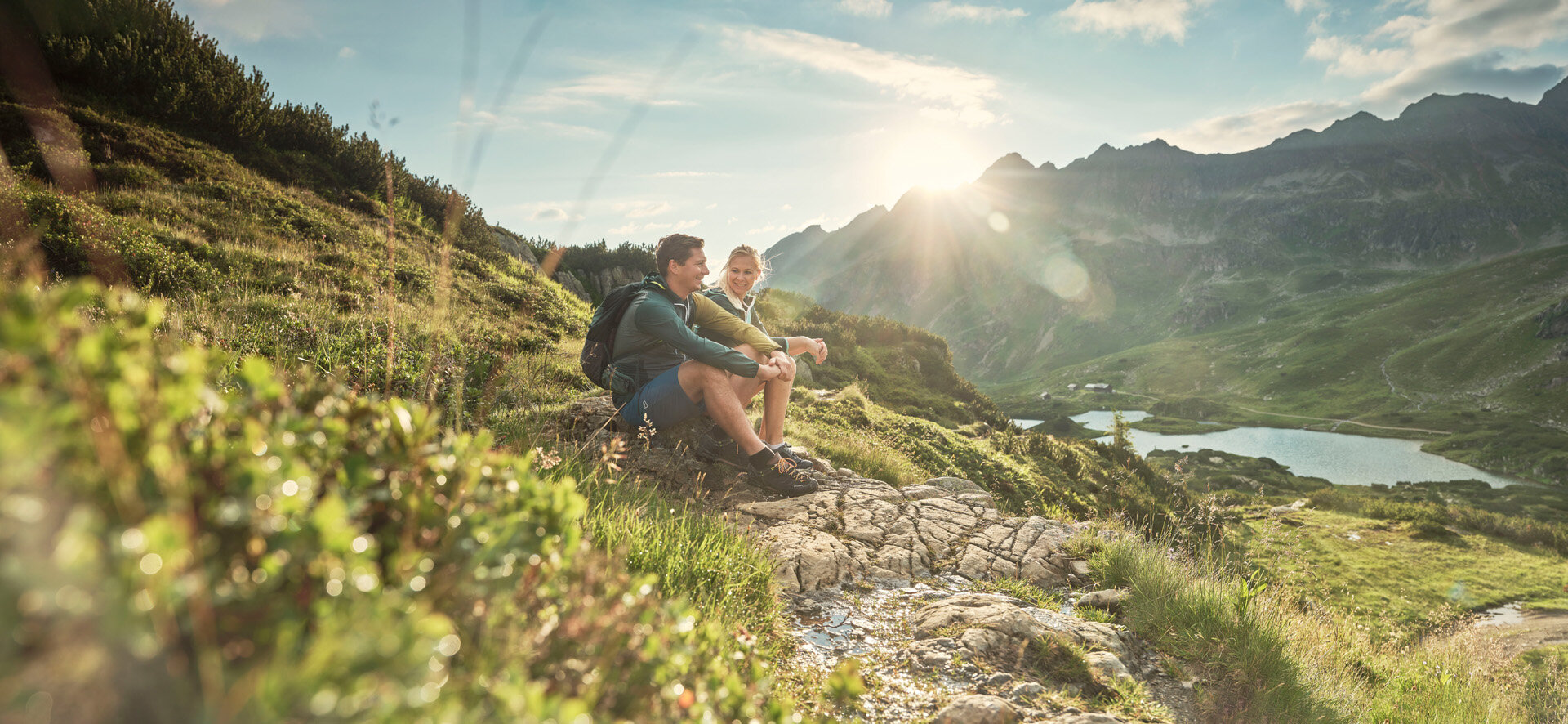
The mountain calls – and Schladming responds with over 1,000 km of hiking trails.
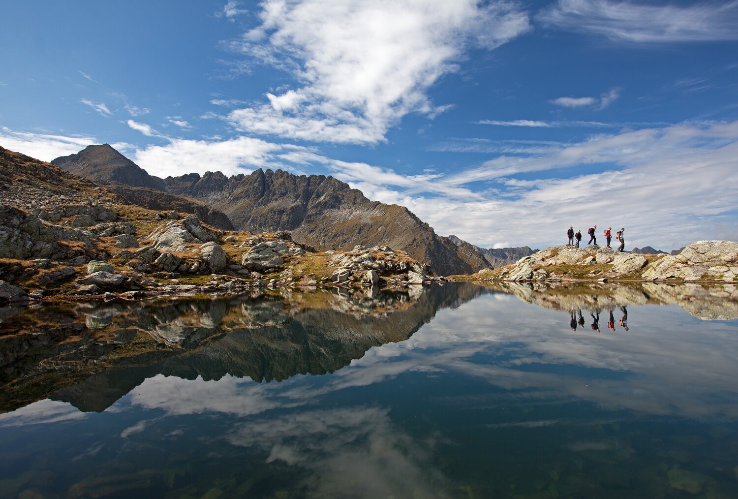
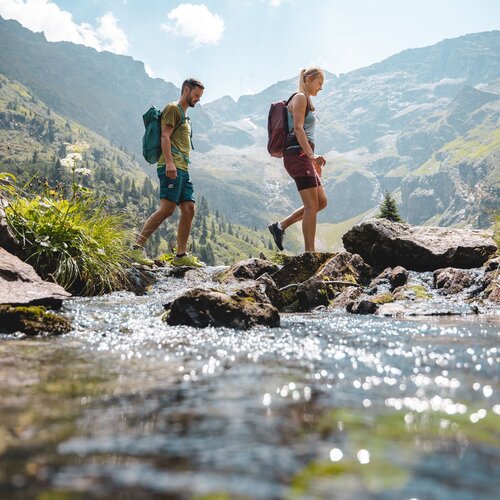
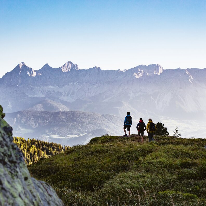
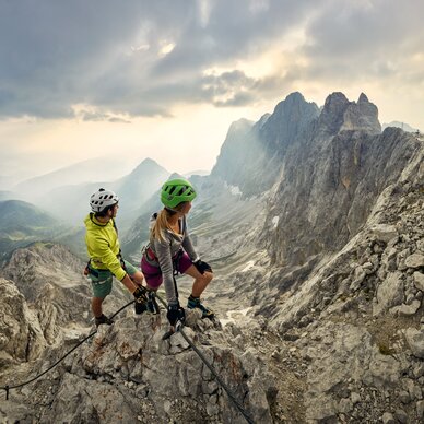
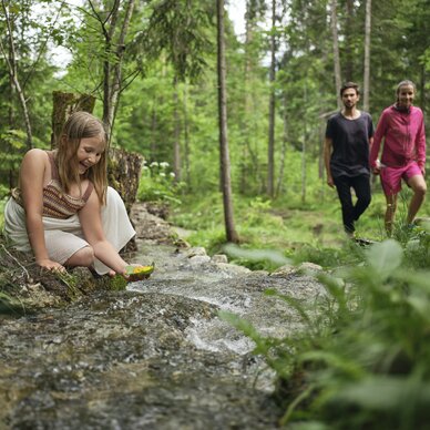
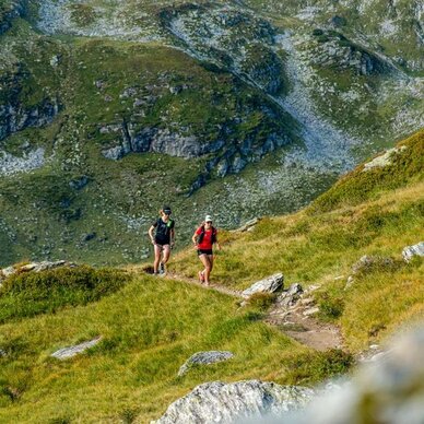
Impressive peaks, tranquil mountain lakes, gentle alpine pastures, and spectacular views: In the Schladming-Dachstein region, you will experience the mountains in all their diversity. Whether a relaxed alpine hike, a sporty summit tour, or a via ferrata adventure – there is something for every level and pace here. Families will find exciting themed trails, connoisseurs can enjoy rustic huts, and athletes can challenge themselves on via ferratas or trail running routes.
With the Hiking Bus & free to the most beautiful tours
Simply hop on and let yourself be comfortably taken to the most beautiful starting points of your hikes. With your Schladming-Dachstein Summer Card, the ride is free – so you can start your unforgettable mountain experiences relaxed.
Good to Know - so your hike is a complete success
From the free mountain ride with the Summer Card to the digital hiking map: Everything is prepared in Schladming-Dachstein for your perfect hiking day. Here you will find practical tips, services, and benefits that make your tour even more relaxed, safer, and more eventful.
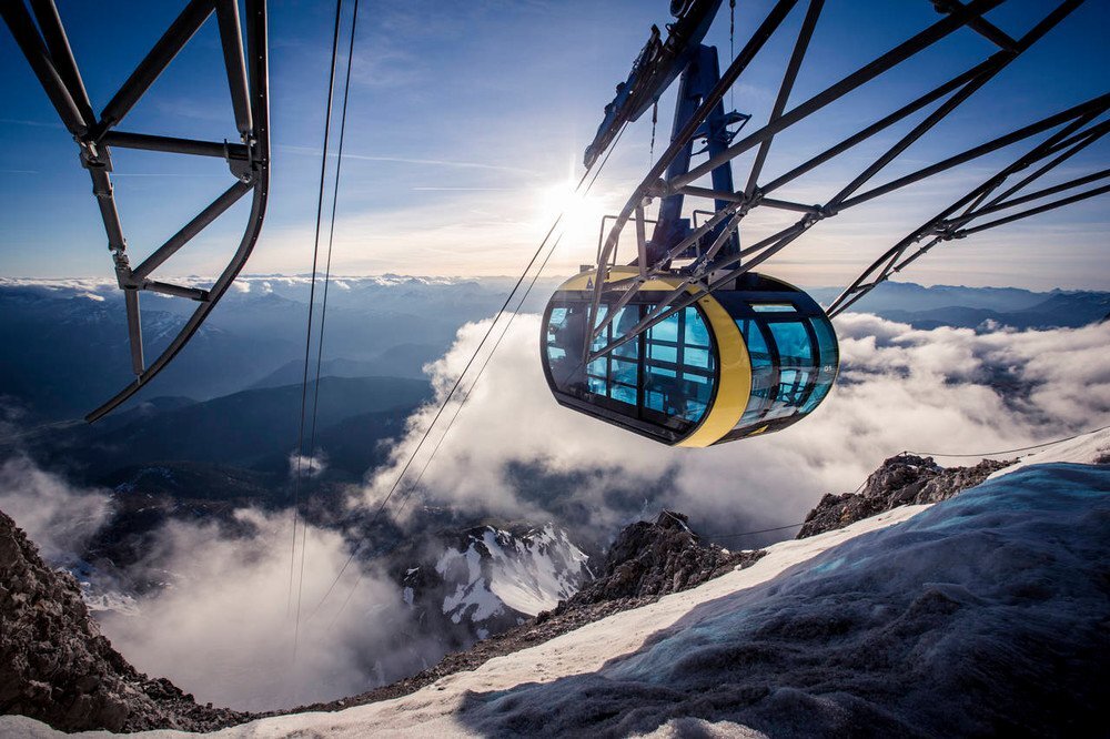
Free access to the hiking area with the cable cars
More views, fewer altitude meters: With the Schladming-Dachstein Summer Card, you can use a cable car of your choice for free every day. This way, you can easily reach the most beautiful hiking areas – whether Dachstein, Reiteralm, Planai, or Hochwurzen.

FAQ for Hikers
-
May to October – depending on the altitude. Autumn scores with distant views and a riot of colors.
-
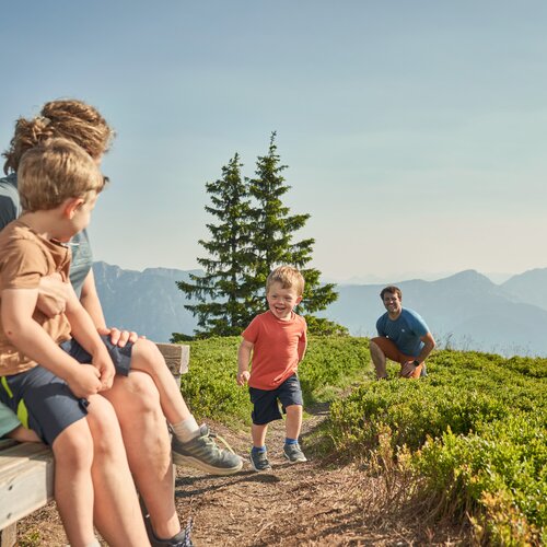
Family hiking trails around Rohrmoos, Wild Water, Hochwurzen circular trail.
-
Guided hikes are offered daily in summer, ranging from herb hikes to family excursions to summit tours. Many are free with the summer card.
-
For hiking in Schladming-Dachstein, you need ankle-high hiking shoes, breathable clothing, a rain jacket, a backpack (20–30 L), sun protection, sufficient drinks, a first aid kit, and a map or GPS.
-
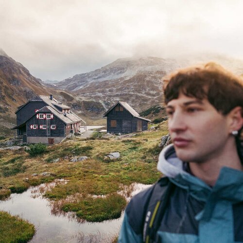
Yes, in Schladming-Dachstein there are many rustic huts with refreshment options that invite you to take a break with regional specialties.
-
Hiking trails are very well marked; over 1,000 km of marked routes for families and mountaineers. A map for orientation is recommended.
-
Hiking maps and tour tips are available directly at our reception, in the guest app, and at the tourist offices.
-
Particularly beautiful views are offered by the Panorama Trail on the Planai, the Bankerl Trail on the Hochwurzen, the Reiteralm summit round, and tours at Hauser Kaibling.
-
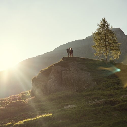
Yes, guided sunrise tours such as at Stoderzinken or Dachstein can be booked online or through the tourist offices.
-
Yes, with the Schladming-Dachstein Summer Card, you can travel for free on over 13 bus lines to hiking areas and excursion destinations in the summer.
