Long-Distance Hiking
Limitless freedom of movement
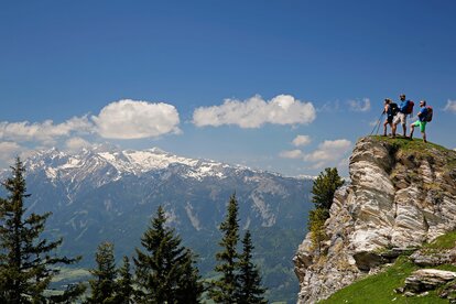
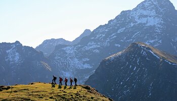
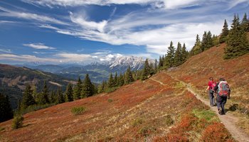
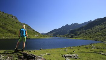
The route is the goal. And long distances are particularly worthwhile destinations in the Schladming-Dachstein region. The five long-distance hiking trails lead in all directions and 1,000 kilometers of hiking. Wonderful day and multi-day tours, from hut to hut, refreshing valleys, exciting, fantastic Alpine landscapes and the joy of summits.
- Schladminger Tauern Höhenweg
70 km, 7 stages, difficulty: medium to difficult
This path is a section of the Zentralalpenweg 02 and is one of the most beautiful hiking tours in the Alps. It is impressive due to its geological peculiarities, the diversity of species of plants and wild animals and the special flair of the surrounding mountains. A good physical condition, good alpine equipment and some alpine experience are an advantage.
- Panorama trail 100
117 km, 7 stages, difficulty: easy to medium
Four stages of the circular hiking trail are located south of the Enns, the other three stages north of the Enns, all at altitudes of 700 to 1,300 meters. The panorama trail is already easily accessible from May and is perfect for multi-day tours.
- Dachstein circular hiking trail
121 km, 8 stages, difficulty: medium to difficult
In eight easily manageable daily stages (4-6 hours walking time) you hike through the federal states of Styria, Upper Austria and Salzburg and enjoy the diversity and beauty of the Dachstein.
- From the glacier to the wine
924 km, 60 stages, difficulty: easy to difficult
The long-distance hiking trail from the Dachstein to the wine country offers imposing mountains, nature reserves, culture, hot thermal baths, regional cuisine and a variety of landscapes. There are two routes, the first north route to Bad Radkersburg and the second south route to Leibnitz.
- Hemma pilgrimage route
187 km, 7 stages, difficulty: medium
The pilgrimage route leads from Admont Abbey to Gurk to St. Hemma in the cathedral crypt. In the second stage you cross the eastern part of the Schladming region. At the Glattjoch in Donnersbachwald you will find the highest chapel in Styria at 1,989 m above sea level, from there you continue into the Murtal and on to Carinthia.


